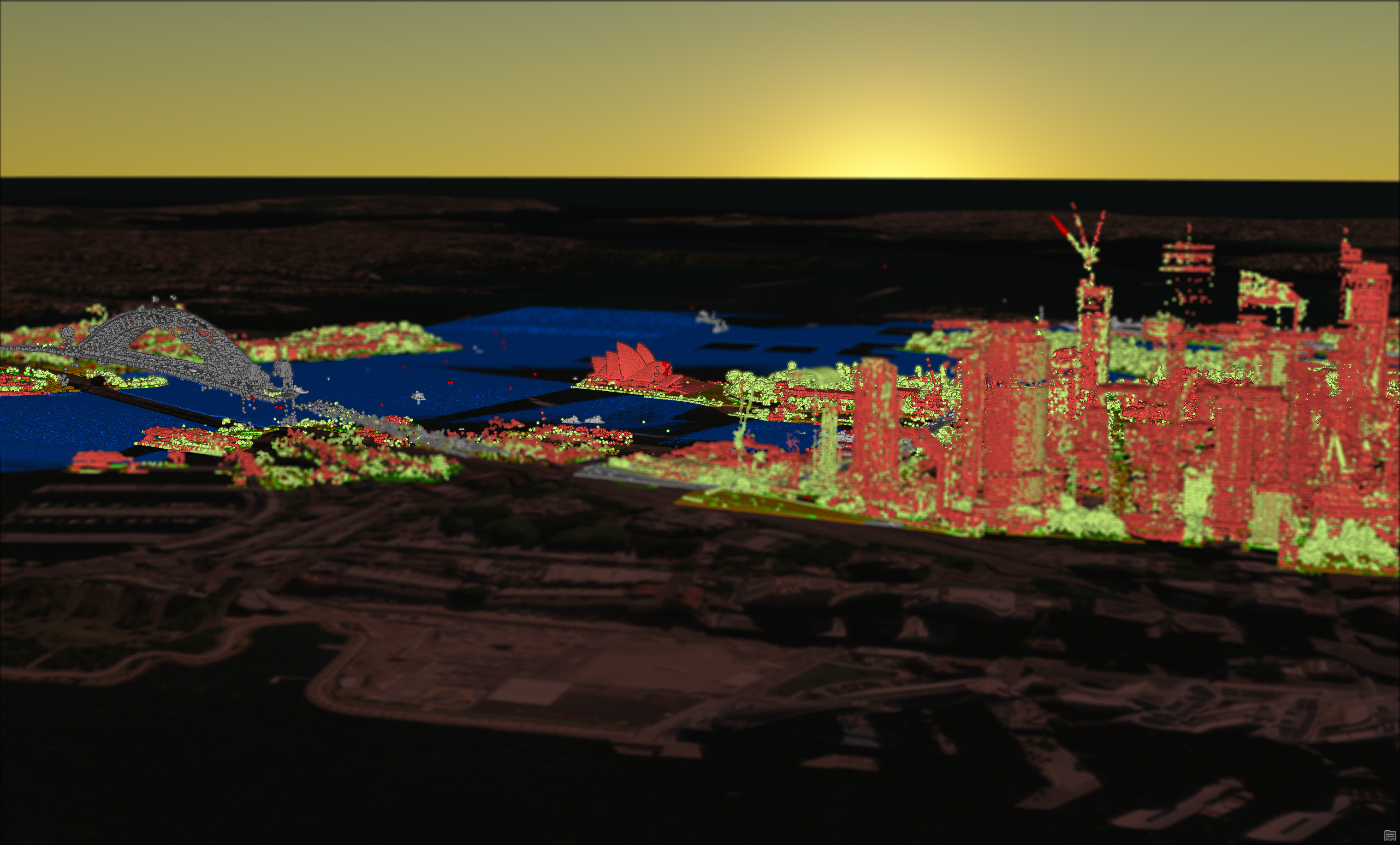
Screenshot of LiDAR las points showing the Sydney Harbour Bridge, Sydney Opera House by point classification

LiDAR & Imagery

Remote observation from your office wherever that is

Where 2D meets 3D

We can work with you on LiDAR and Imagery interpretation and manipulation.

In addition, we can do analysis with the data for you which can include but not limited to:

  • Flood and Hydrology mapping
  • Dam and Pool detection
  • Vegetation analysis
  • Change detection
  • Agriculture analysis

LiDAR

Visualise real world terrain and objects in 3 dimensions

Imagery

Evaluate changes over time at varying resolutions

Contact us about your data needs