
An Introduciton to GIS
17th June 2024
What does GIS mean?
GIS is an acronym for Geographic Information System.
In short, it is software used to help view, analyse and edit data that has been obtained to
represent the real physical world.
GIS software can be used to make maps, assist with decision making, assist with logistics planning
and many more applications.
Examples of GIS you may have used
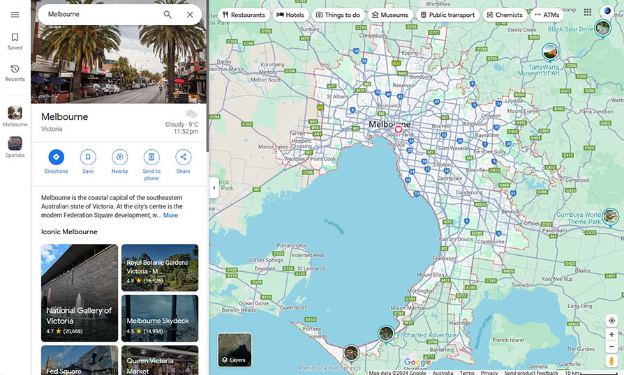
You have probably used a variation of it before. If you have ever opened Google Maps,
Bing Maps, Apple Maps, Google Earth or any other mapping app then you have used a type of GIS.
Common uses of these apps include, when you are looking for information about a place, or
how to get somewhere or to see what the Earth surface looks like.
If you enter the street address of a place, you almost instantly get
results.
But behind the scenes there are numerous processes taking your query and processing it into
a result that you hopefully are expecting.
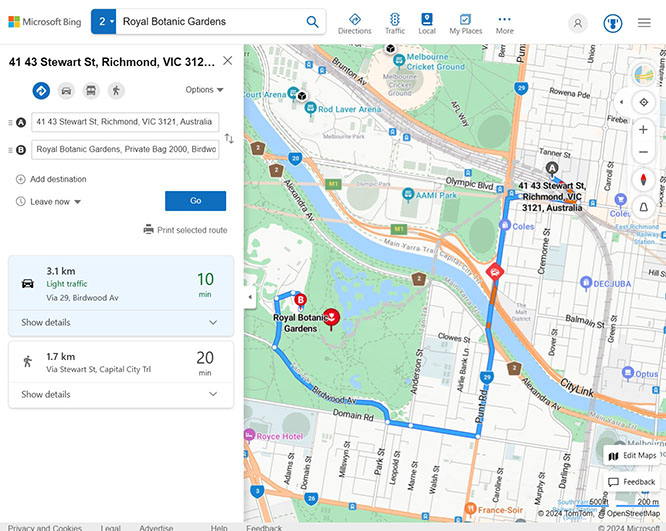
The term 'Geocoding' means to find a latitude and longitude location of an address or place
name based on your search term. The algorithm then ranks the 'most likely' result based on
how similar your search term is to the data listed in the app's database with the most
likely being the top suggested location.
When looking for directions to go from one place to another, the to and from locations may
be
individually geocoded places, but the request for directions is asking the app to do
'network
routing' to find the fastest path between the two places.
This network routing is when the two places are connected by segments of lines which have
turn
directions, lengths and speeds associated with them. In the case of these apps, these
datasets
are pre-prepared to enable such quick results when sending queries.
Most of these applications are fit for purpose products designed specifically for general public
use. They lack the more sophisticated analytical tools and ability to manage datasets that
professional level GIS software contain.
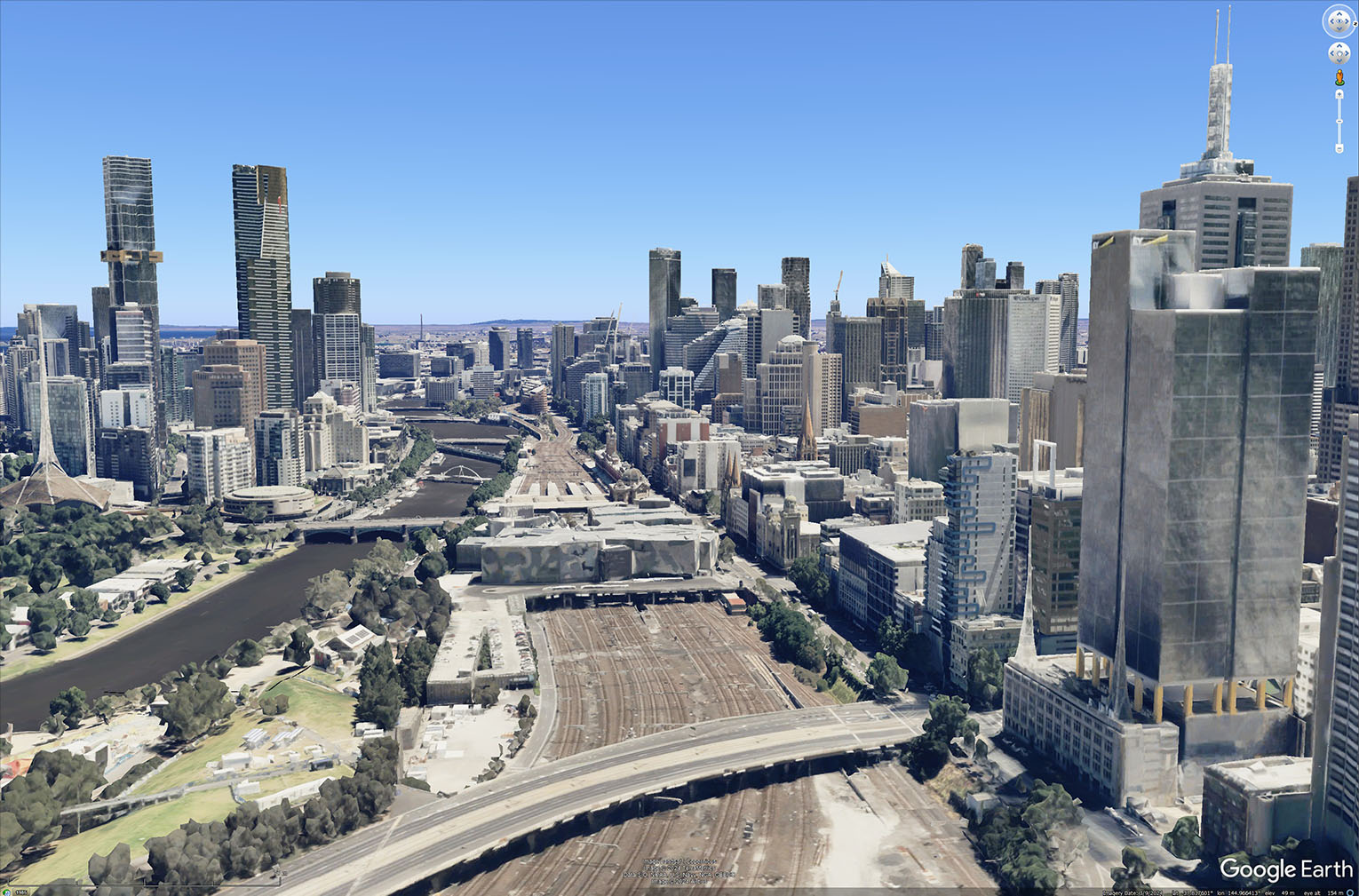
However, tools such as Google Earth, are useful for displaying some datasets that are able to be
exported from these Professional level GIS programs and make it simplistic for visualisation in
a familiar setting.
The Professional Programs
To really get value out of GIS, you need programs that are capable of processing large datasets and
combining information using specific analytical tools.
The previous software and apps might look pretty and familiar to the everyday person, but they are
useless when questions are being asked such as:
- 'Where does water flow across the terrain?'
- 'How has vegetation coverage changed in the last 10 years?'
- 'What is the population distribution over this Local Government over time and what is the capacity of nearby schools going to look like in the future?'
When it comes to professional level GIS Software, there are two dominant players in the game that are drastically different with their own strengths and weaknesses.
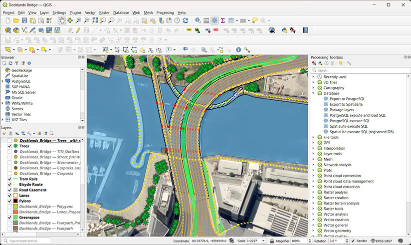
QGIS
QGIS is the go to Open Source program for Spatial Analysis. Designed to be a direct competitor to
the proprietary nature of other software systems, QGIS is backed by a large community of
developers and boasts decent competition considering it costs nothing to use.
Despite its somewhat dated looking user interface, QGIS is highly versatile, and it's open-source
nature means that plugins are able to be integrated directly into the software. Combined with
other open source solutions, for enterprise level database management, QGIS is capable of doing
practically anything that other proprietary software is able to do.
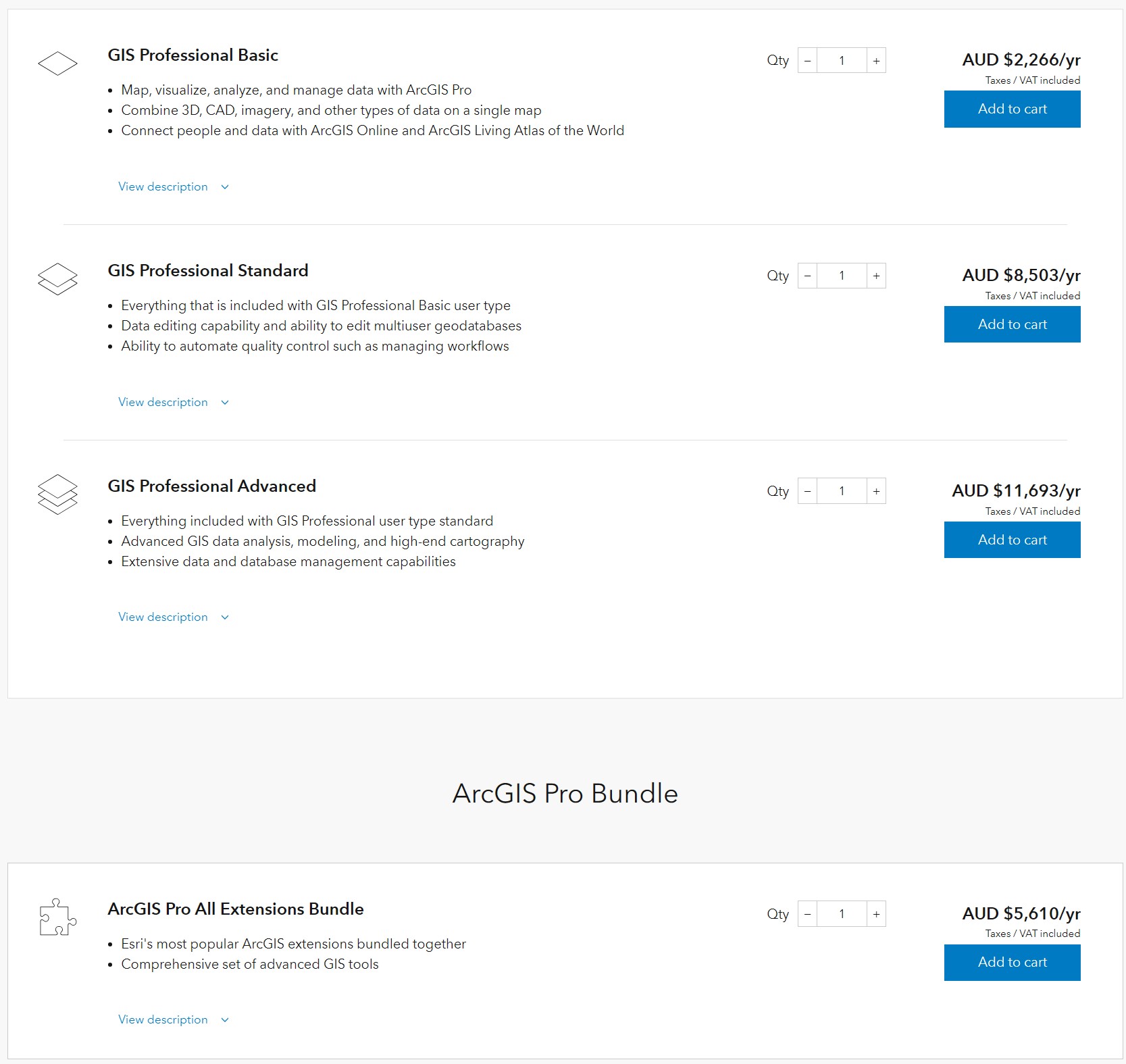
ArcGIS Pro by ESRI
ArcGIS Pro (it's predecessor ArcMap) by ESRI is one of the most popular GIS platforms in the
industry. It has been around since 1999 and relatively dominated the field since then.
The software is proprietary and is an often sore point of many budgets in commercial and government
enterprises.
Extensive documentation makes the automation through scripting attractive and their ability to
deliver software as a service (SAAS) really can outshine their competitors.
However, their flashy user interface and capable marketing system makes this a very common selling
point for managers and especially high-level corporate who do not understand the capabilities and
needs of GIS. That is because, most of what you would be paying a full salary to use, can be
obtained for free through software such as QGIS. We will expand on these comparisons in a later
blog.
In Summary
GIS stands for Geographic Information System.
We use variations of GIS every day when using interactive maps, but for more robust and complex
analysis we use programs such as QGIS and ArcGIS.
ArcGIS is a proprietary software, with many tools, but a high cost to use.
QGIS is an open source software which is free to use with almost as many tools, but also capable of
plugins.
Want to know more about GIS? Ask us!